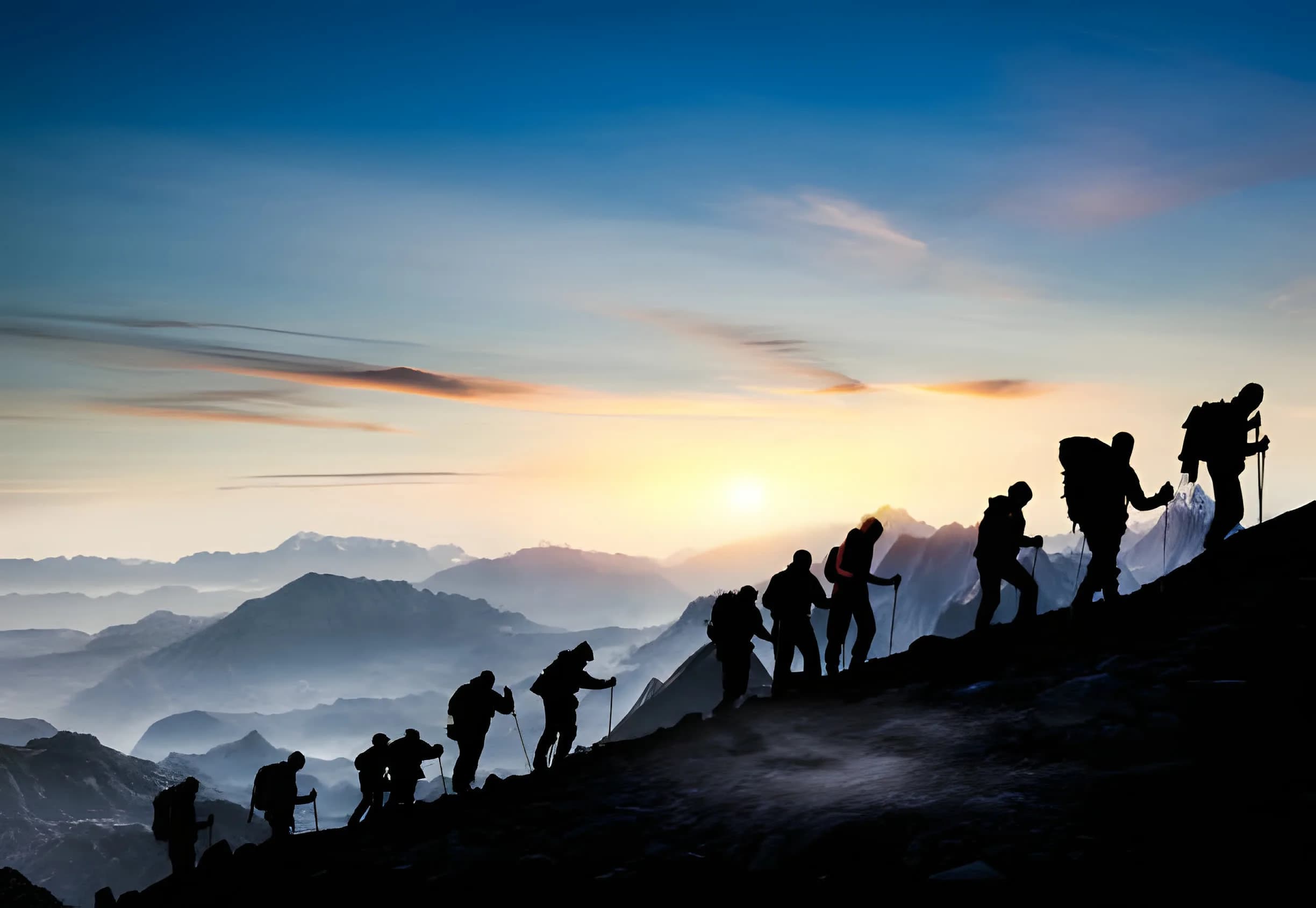
Mardi Himal and the Annapurna peaks first photographed for Western mountaineers in 1953
Summit & first ascent

The peak is 5,587 m. The trek stops below it.

Mardi Himal is a mountain and a walking route that share one name, and only one of them tops out. The summit was first climbed in 1961, up the west flank, though who actually stood on it is still disputed. This page is about the peak: where it is, what climbing it means, and why no teahouse itinerary reaches it.

The record, in brief.

Summit height
5,587 m (18,330 ft)
Range & district
Annapurna Himal, Kaski
Col to Machhapuchhre
~5,200 m
Highest point on the trek
Upper Viewpoint, 4,200 m
Does the trek summit?
No
Official status
Govt. trekking peak
First ascent year
1961
Summiter
Disputed (see below)
Recorded route
West flank
Western attention
Goodfellow's 1953 photos
Trekking route opened
2012
Machhapuchhre
Unclimbed since 1957

What and where the peak is.

Mardi Himal is a 5,587 m summit (18,330 ft) in Kaski District, Gandaki Province, on the southern fringe of the Annapurna Himal. Wikipedia places it at roughly 28.4736 N, 83.9275 E, directly south of Machhapuchhre and joined to it by a col at about 5,200 m. That col is why the fishtail stands over every photograph taken from the ridge below: Mardi Himal is the small peak in front of the famous one. Trekking operators sometimes quote 5,553 m or 5,555 m instead, and no government or Himalayan Database figure settles the difference, so we use 5,587 m and treat the lower numbers as unverified variants. The rock and the shape of the ground are covered on our geography and geology page.

The name does double duty, and that is the root of nearly every misunderstanding about this mountain. Mardi Himal is a summit. The Mardi Himal trek is a walking route along the ridge beneath it. Most people searching for the peak land on pages about the trek, so it is worth being blunt about which is which. For the peaks visible from the ridge, see mountains near Mardi Himal, and for the peak's place in the wider range, its position in the Annapurna massif.

No trek reaches the top.

Not the standard route, not the long route, not any teahouse itinerary sold on this mountain. The walk finishes on the ridge below the peak, and the gap between the two is large.

Most trekkers turn around at the Upper Viewpoint at 4,200 m, and every itinerary we publish ends there. The true Mardi Himal Base Camp at 4,500 m is the highest ground any walking route reaches, on the longer or peak-permit trips only, and it is explained in full on our base camp page. Even from there the summit is about 1,087 m higher, on snow and ice rather than trail. From the 4,200 m viewpoint it is about 1,387 m higher, and from High Camp at 3,580 m about 2,007 m.

We do not run a summit expedition on Mardi Himal, and nothing here is an offer to take you up it. What we run is the trek along the ridge below the peak. If a company sells you a Mardi Himal trek and describes the summit as the destination, check which altitude the itinerary actually ends at.

Open to climb, on its own terms.

Mardi Himal is open, unlike Machhapuchhre next door, which has been closed since 1957 and is covered on our Machhapuchhre relationshippage. The Nepalese government classifies Mardi Himal as a trekking peak. In Nepal that regulated system grew up around the Nepal Mountaineering Association, founded on 1 November 1973, which long administered climbing permits for a set of peaks in the range above the walking trails. In October 2015 the government ended the association's monopoly over those permits and moved the authority to the tourism ministry. Mardi Himal's status as a climbing objective therefore predates, by decades, the walking route most visitors now associate with the name.

The practical rule is that a climb is a separate undertaking from the walk. The ACAP entry permit and TIMS card that cover the trek authorise walking in the conservation area, not going above the walking route, so a summit attempt needs its own permission on top of them, along with a climbing guide and glacier equipment. What that permission currently costs is where the sources part company. Several Nepali operators list Mardi Himal among a small group of peaks under 5,800 m whose royalty was waived by the Ministry of Culture, Tourism and Civil Aviation. We have not found a primary association or ministry document confirming it, so we treat it as unconfirmed. Rules for Nepal's lower peaks have changed more than once, and no trekking company's website is the permit authority, this one included. Confirm the current requirement with the Nepal Mountaineering Association or the ministry before you plan a climb.

A peak seen through a lens.

Western mountaineers first took notice of Mardi Himal because of a set of photographs. In 1953, Basil Goodfellow, a British climber and keen mountain photographer, travelled into the Pokhara area and photographed the peak and the south and south-east faces of neighbouring Machhapuchhre. His images drew attention to a summit that had until then been little more than a name on the ridge below the fishtail. Goodfellow was a serious figure in British mountaineering, later President of the British Mountaineering Council, and the Alpine Journal devoted a 1977 article to him as a mountain photographer.

The photographs did their work, but slowly. Eight years passed between the 1953 images and the first recorded ascent in 1961. For the lie of the land Goodfellow was photographing, see our geography and geologypage and the peak's position in the Annapurna massif.

One year, two stories.

The first ascent of Mardi Himal took place in 1961. That year is the one fact every source agrees on. Who reached the top is where the record splits. Wikipedia credits the first ascent to Basil Goodfellow himself, the same man whose photographs had drawn attention to the peak. Climbing and operator sources tell it differently: they credit Lt. Col. Jimmy Roberts, climbing with two Sherpas via the west flank.

We do not assert one version over the other, because no authoritative source resolves the conflict. Both Goodfellow and Roberts were closely involved in the early exploration of this region, and that overlap is the most likely root of the confusion. Some operator pages add further detail, naming particular Sherpas and a different ridge line, but those accounts contradict the west flank version and are unverified, so we leave them aside. What is reasonably solid is the route: the west flank is the only recorded ascent line on the peak, with a south-west face variation also mentioned.

The father of trekking.

Whatever happened on the summit in 1961, Lt. Col. James Owen Merion Roberts (1916 to 1997) is a giant of Nepalese mountaineering history. A British Army officer, he is widely called the father of trekking in Nepal. He founded Mountain Travel, registered with the Nepalese government in late 1964 and operating from 1965, which is described as the first commercial trekking company in Nepal and indeed in Asia. His first paying trek took six American women toward Everest Base Camp in 1965, and for several years afterward his company was the only one arranging trekking tourism in the country.

Roberts also organised the 1957 expedition to Machhapuchhre, the only recorded attempt on that peak, which we cover on our Machhapuchhre relationship page. Set against that career, his connection to Mardi Himal is one strand among many, but it places the small peak firmly inside the larger story of how Westerners came to know, climb, and eventually walk through this part of the Himalaya.

From climb to trail.

The walking route opened only in 2012, making it one of the youngest trails in the Annapurna region. It climbs from Pokhara through Dhampus and Pothana along a high forested ridge toward the base of the peak. A mountain that had been a quiet climbing objective since 1961 became, half a century later, a popular short trek, and the trek is now what the name means to almost everyone who hears it. For the walk itself, see our trek page, and for how the peak got its name, our name and meaning page.

A ridge of different fates.

Mardi Himal's climbing history reads very differently from those of the peaks around it. Machhapuchhre (6,993 m), the fishtail just to the north-east, remains officially unclimbed: its only recorded attempt was the 1957 expedition, when Wilfrid Noyce and A.D.M. Cox reached about 6,947 m, within roughly 46 m of the summit, before turning back. Annapurna South (7,219 m) was first climbed on 15 October 1964 by a Kyoto University Alpine Club team. Hiunchuli (6,441 m) waited until October 1971, when an American expedition reached its top.

Set against those neighbours, Mardi Himal, at 5,587 m, was climbed in 1961, earlier than two of its taller companions, yet it carries the least settled record of who actually did it. It is the modest peak with the loud argument, a footnote in the early Annapurna story that still has not been fully written.

Summit questions.

Does the Mardi Himal trek reach the summit?

No. No teahouse itinerary on this mountain goes to the top, and none is sold that does. The standard trek turns around at the Upper Viewpoint at 4,200 m. Longer trips continue to Mardi Himal Base Camp at 4,500 m, the highest point any walking route reaches. The summit is 5,587 m, so even from Base Camp there is roughly another 1,087 m of mountain above you. The trek and the peak share a name and are two different objectives.

Where is the summit of Mardi Himal?

The summit stands in Kaski District, Gandaki Province, on the southern fringe of the Annapurna Himal, at roughly 28.4736 N, 83.9275 E. It sits directly south of Machhapuchhre and is joined to it by a col at about 5,200 m, which is why the fishtail dominates every view from the ridge below. The headline height is 5,587 m (18,330 ft), though trekking operators often quote 5,553 m or 5,555 m instead.

How much higher is the summit than the trek's high point?

From the Upper Viewpoint at 4,200 m, where the standard trek turns around, the summit is about 1,387 m higher. From Mardi Himal Base Camp at 4,500 m it is about 1,087 m higher. From High Camp at 3,580 m, where trekkers sleep, it is about 2,007 m higher. Those gaps are mountaineering ground rather than trail.

Can you climb Mardi Himal, and do you need a permit?

Mardi Himal is open to climbing, unlike Machhapuchhre next door. The Nepalese government classifies it as a trekking peak. A climb is a separate undertaking from the walk: the ACAP entry permit and TIMS card that cover the trek do not authorise going above the walking route, and a summit attempt needs a climbing guide and glacier equipment on top of that. Permit and royalty rules for Nepal's lower peaks have changed more than once and operator pages disagree on what currently applies to Mardi Himal, so confirm the requirement with the Nepal Mountaineering Association or the tourism ministry rather than with any trekking company's website, this one included.

Do you run a Mardi Himal summit expedition?

No. We are a trekking operator on this ridge and we do not sell a climb of the 5,587 m peak. Every Mardi Himal itinerary we publish tops out at the Upper Viewpoint at 4,200 m, roughly 1,387 m below the summit. This page exists to answer the summit question, not to sell a mountaineering trip we do not run.

When was Mardi Himal first climbed?

Mardi Himal received its first recorded ascent in 1961. The year is consistent across Wikipedia and the climbing and operator sources, so it is the one solid date in the peak's climbing history. Western mountaineers had been aware of the peak since 1953, when photographs taken by Basil Goodfellow first drew attention to it, but eight years passed between that interest and a recorded ascent.

Who made the first ascent of Mardi Himal?

This is genuinely disputed. Wikipedia credits the 1961 first ascent to Basil Goodfellow, the British climber and photographer whose images first publicised the peak. Climbing and operator sources instead credit Lt. Col. Jimmy Roberts, climbing with two Sherpas via the west flank. Both men were central to the early exploration of this corner of the Annapurna region, which likely explains the confusion. We present both accounts and do not assert a single name, because no authoritative source resolves the conflict. If you see a confident single attribution elsewhere, treat it with caution: the primary references simply do not agree.

What route did the first ascent take?

The only recorded ascent route on Mardi Himal is the west flank, according to the climbing and operator sources. Some pages also mention a south-west face line, and a few name specific Sherpas and a different ridge, but those details conflict with the west flank account and are unverified. The west flank remains the historic reference.

Who was Jimmy Roberts?

Lt. Col. James Owen Merion Roberts (1916 to 1997) was a British Army officer often called the father of trekking in Nepal. He founded Mountain Travel, registered with the Nepalese government in late 1964 and operating from 1965, which is described as the first commercial trekking company in Nepal and in Asia. His first commercial trek took six American women toward Everest Base Camp in 1965. He had also led the 1957 expedition to neighbouring Machhapuchhre. Whether or not he stood on the summit of Mardi Himal in 1961, his fingerprints are all over the early mountaineering history of this region.

Why is Machhapuchhre still unclimbed?

The fishtail peak just north-east of Mardi Himal has only one recorded climbing attempt, the 1957 British expedition led by Jimmy Roberts. Climbers Wilfrid Noyce and A.D.M. Cox reached roughly 6,947 m, within about 46 m of the 6,993 m summit, then stopped. By the prevailing account, King Mahendra had granted permission to climb but forbade setting foot on the summit itself out of respect for the mountain's sacred status, and the climbers honoured that. Nepal later closed Machhapuchhre to climbing entirely. Our Machhapuchhre relationship page covers the two peaks' shared geography.

When did the Mardi Himal trekking route open?

The walking route to Mardi Himal opened in 2012, making it one of the youngest trails in the Annapurna region. It runs up from Pokhara through Dhampus and Pothana along a high forested ridge of oak, rhododendron, and bamboo, and it is now a popular short trek. The peak itself had been designated a trekking peak by the Nepalese government well before the trail existed, so for decades it was a climbing objective without the teahouse route that defines it today. That gap between the 1961 climb and the 2012 trail is part of what makes the mountain's story unusual.

How does Mardi Himal compare to its neighbours historically?

Among the peaks ringing this part of the Annapurna massif, the climbing histories vary widely. Machhapuchhre (6,993 m) remains officially unclimbed since the 1957 attempt. Annapurna South (7,219 m) was first climbed on 15 October 1964 by a Kyoto University Alpine Club team. Hiunchuli (6,441 m) was first climbed in October 1971 by an American expedition. Mardi Himal, lower at 5,587 m, was climbed in 1961, earlier than two of its taller neighbours but with a far murkier record of who actually did it.

Read the mountain, then come walk it.

We run six scheduled departures a month from Pokhara, September to May: Sundays for the 5-day itinerary, Thursdays for the 6-day. Every other trip on this site runs privately, on your own dates. A 30 % deposit holds your place, and the balance is paid in Kathmandu before the trip starts.